Back Porch Tours
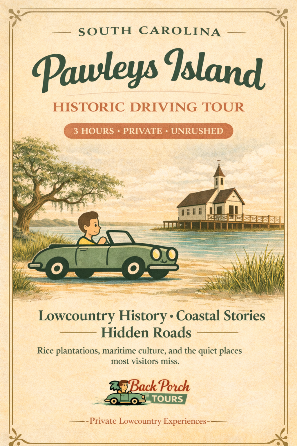
3-Hr: Uncover Pawleys Island - Private Driving Tour of "America's Oldest Seaside Resort"
3-Hr: Uncover Pawleys Island - Private Driving Tour of "America's Oldest Seaside Resort"
Couldn't load pickup availability
Pawleys Island, South Carolina
Private Historic Driving Tour
Rice, Retreat, and the Making of the Lowcountry
Pawleys Island is often described as one of the oldest seaside resort areas in America—but that story only makes sense when you understand what existed here before leisure, and why this landscape mattered long before tourism.
This private driving tour explores Pawleys Island and the surrounding Waccamaw Neck as a connected system of land, water, labor, and retreat. Rather than focusing on isolated landmarks, the tour reveals how rice plantations, inland waterways, barrier islands, and preservation landscapes worked together to shape one of the most influential regions in Southern history.
What You’ll Explore
Pawleys Island
One of the oldest summer resort areas on the East Coast, developed as a seasonal refuge for inland plantation families. Shaped by storms, tides, and deliberate resistance to overdevelopment, the island reflects centuries of adaptation to a fragile coastal environment.
Pelican Inn
An early anchor of coastal tourism and fishing culture, representing seasonal Lowcountry life before highways and mass travel reshaped the coast.
All Saints Church & Cemetery
Burial ground of rice planters, coastal families, and generations of island residents. Associated with the legend of Alice Flagg, this stop explores memory, folklore, and who history chooses to remember.
Avenue of Oaks
A plantation-era oak allee where landscape functioned as architecture. These oak corridors signaled arrival, power, and control long before buildings came into view.
Caledonia Golf & Fish Club (Exterior / landscape discussion)
Former rice plantation land where tidal systems engineered by enslaved labor still shape the terrain today.
Litchfield Plantation (Day-dependent access)
One of the earliest rice plantations in the region, tied to colonial settlement and enslaved labor systems. Helps explain how inland wealth supported coastal retreats like Pawleys Island.
True Blue Plantation
Former rice plantation land later repurposed, illustrating the shift from rice agriculture to mixed use after emancipation and economic collapse.
Huntington Beach State Park
Preserved maritime forests and wetlands that once marked plantation boundaries, showing the transition from agricultural land to conservation space.
Waverly Plantation Area (Landscape discussion)
An influential rice plantation within the Waccamaw Neck, revealing the scale, organization, and inland power networks behind the rice economy.
Atalaya Castle
1930s winter home of Archer and Anna Hyatt Huntington, built on former plantation land. Represents the transition from agriculture to art, philanthropy, and preservation.
Waccamaw River & Hagley Sunset Point
The primary artery of the rice economy, used for tidal control, transport, and plantation isolation. River access determined wealth and power.
Pawleys Island Chapel
A historic marshfront chapel reflecting coastal resilience, seasonal worship, and Lowcountry tradition.
Holy Cross Faith Memorial Episcopal Church (Exterior stop)
Church grounds include an enslaved burial site and the Ruby “Miss Ruby” Forsythe Memorial, honoring Black community survival through education and local leadership.
Magnolia Beach Club
A Green Book–era Black beachfront destination (1930s–1960s), established by Frank McKenzie and Lillian Pyatt. Part of the South Carolina coastal network that supported Black travel, leisure, and cultural life during segregation. Connected to the Jim Crow coastal music circuit, with artists such as James Brown, Ray Charles, Aretha Franklin, Duke Ellington, Ella Fitzgerald, and Louis Armstrong documented in nearby venues.
St. John’s Chapel (1875 — Reconstruction)
Founded by formerly enslaved African Americans and used as a church, school, and mutual aid center. Represents Black land ownership and civic life during Reconstruction, the same era that allowed Joseph H. Rainey, born enslaved in Georgetown County, to serve in the U.S. Congress.
Hammock Craft & Local Industry
Origin of the iconic Pawleys Island rope hammock—crafted from coastal materials and shaped by climate, labor, and daily Lowcountry life.
The Big Picture
Together, these sites reveal the full arc of Pawleys Island and the Waccamaw Neck:
Rice plantation wealth
Administrative plantation houses tied to inland waterways
Secondary and supporting plantation landscapes
Architecture shaped by climate, tides, and isolation—not display
The transition from agriculture → leisure → preservation
Landscapes where land and water mattered more than buildings
Unlike Charleston, Pawleys Island was never meant to impress.
It was meant to function.
Why Pawleys Island Existed
Pawleys Island developed as a seasonal refuge, not a production site. Families who controlled inland rice plantations along the Waccamaw River moved here during summer months to escape heat and malaria, leaving behind the estates that generated their wealth. Its quiet character today reflects those original choices.
How the Tour Works
Primarily driving-based, with select exterior stops
Focus on land, systems, and context, not interiors
Designed as a connected landscape experience, not a checklist
Tour Length & Options
Ideal for a dense, focused 3-hour tour
Easily expanded into a 6-hour VIP experience
Flexible for repeat visitors and seasonal changes
Important Notes
Private, guided experience
Exterior discussions only
No ticketed attraction entry unless stated
Route may adjust based on conditi
Share